|
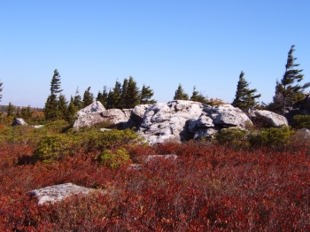
Approaching the Allegheny Front at Bear Rocks Preserve.
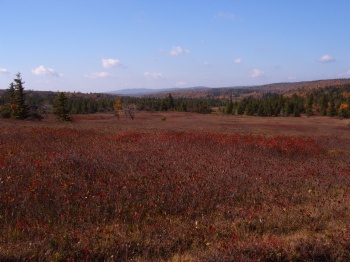
– facing northeast –
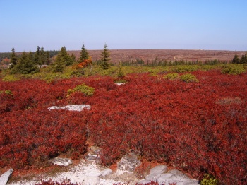
A grand view of the Allegheny Plateau from Bear Rocks Preserve. In the distance notice there are no trees - only ground cover much like the forefront of this photo. Much of the red color is from low bush blueberries.
– facing northwest –
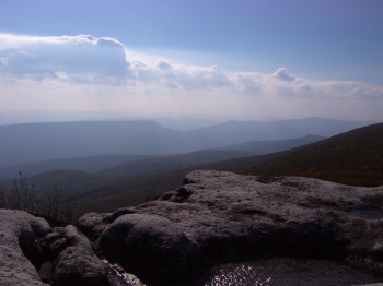
A gorgeous view of the Allegheny Front, also known as the Eastern Continental Divide.
– facing southeast –
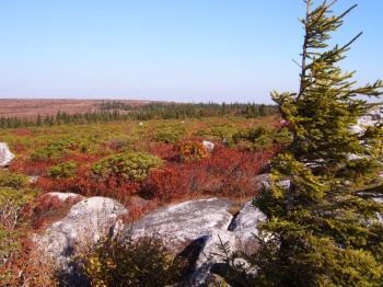
An up-close view of a Spruce who's western side has not developed due to the harsh conditions on the plateau.
– facing north –
Here's where we're headed, into the wild!
– facing southwest, at the start point of the Bear Rocks Trail –
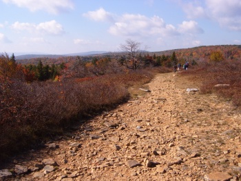
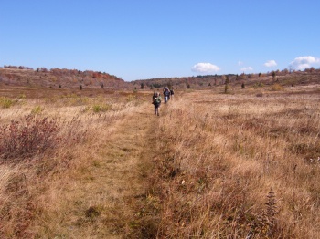
A portion of the Bear Rocks Trail, about mid point.
– facing southwest –
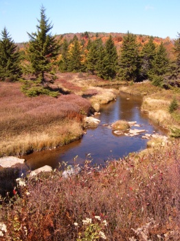
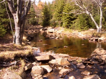
This is the Upper Red Creek along the Dobbin Grade Trail.
– facing north –
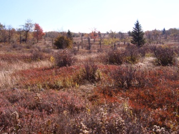
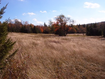
Here's another shot of some of the terrain in North Dolly Sods along the Dobbin Grade Trail. Someday, what you see here may again be forest. Never the less, the current terrain is quite pleasing to the eye.
– facing southeast –
More of the trail along Dobbin Grade. North Dolly Sods in not part of the Dolly Sods Wilderness, so you may see the trail mowed in places (as you do here), as well as heavily horse trodden portions.
– facing east –
Here is our lunch spot on the first day. We're along the Upper Red Creek where the Blackbird Knob trail comes down to meet the creek. This is also the spot where we ran into the Wittenberg students. (See Bad Maps / Good Maps in the Highlights.)
– facing north –
Along the Blackbird Knob Trail you will come across some gorgeous meadows, as the one in this photo, as well as some sweeping views off to the south and west. (Keep your eyes out for horse manure.)
– facing south –
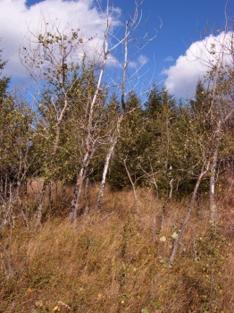
Interesting growth along Blackbird Knob Trail.
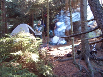
Camp the first night along the Left Fork. Even though there is not an official trail along the Left Fork – it is hike-able (and there is a bit of a trail). There are some nice overnight sites. This spot is located on the west bank at the first major bend in the fork, just south of the Blackbird Knob Trail. There are several more camp spots further down.

An evening stroll led Brad and I boulder hopping down the creek and eventually on route to locating our initial passage away from the Left Fork.
– facing south –
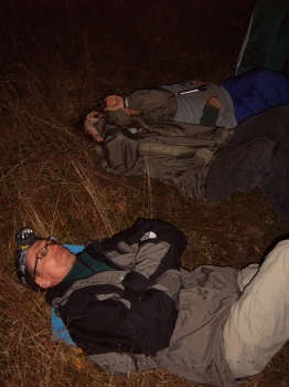
Moon and star gazing, peppered with discussion (mainly between Brad and Chris) about rock bands of the 70's.
Day 1 | |
|| ||
|