|
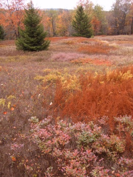
You're not going to find this meadow along any trail. This was the beginning of our morning bush whacking toward the Breathed Mt. Trail, taking us to several pristine meadows, much like the one shown here. (See "Meadow Junkies" in Highlights.) Just look at those colors! (At some point between this location and the Breathed Mt. Trail we crossed into the official Dolly Sods Wilderness.)
– facing southeast –
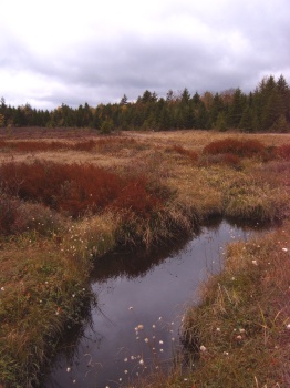
This photo encompasses the pinnacle of what Dolly Sods is all about - high, wind swept, water logged plains. (Even though this plain is not as wind swept as the ones in North Dolly Sods.) Regardless - it's a beautiful thing. In the far off corner is the popular Breathed Mt. camp site. Watch out for the deer here if you stay overnight - they're fearless, and they'll snag the PowerBar right out of your back pocket! (No joke. It happened in a prior year when we actually camped at this location.)
– facing west –
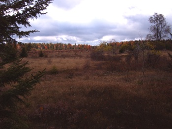
This is my all-time favorite meadow in the Wilderness. Unfortunately, this picture fails to capture the grandeur and beauty of this place. I would suggest getting there! It is along the Breathed Mt. Trail - you won't miss it.
– facing southwest –
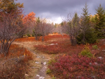
This is a gorgeous photo and captures what we experienced ALL day long! This photo is taken close to the most northerly point of the Breathed Mt. Trail.
– facing north –
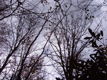
This is the view during my siesta after lunch. We found a small swale along the Big Stonecoal Trail that protected us from the wind.
– facing up –
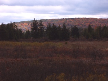
I snapped this picture along the Big Stonecoal Trail as the sun was breaking out on the distance hillside.
– facing west –
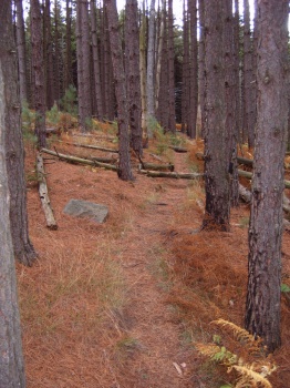
One of several small pine forests along the Big Stonecoal Trail. Inevitably, and almost unfortunately, there are many campsites found in most of these piney areas.
– facing south –
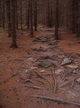
This rooty pathway leads into an ominous Hemlock grove. I love this picture. If the trail is not "rocky" and wet, it may be "rooty" and wet.
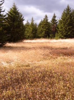
The sun broke out just as we were passing by this quaint little glade along the Big Stonecoal Trail, just before plunging into the deep forest.
– facing west –
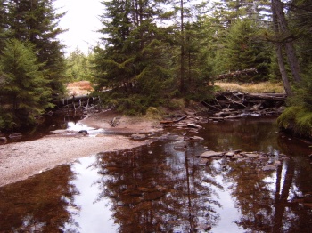
One of several Big Stonecoal Run crossings.
– facing north –
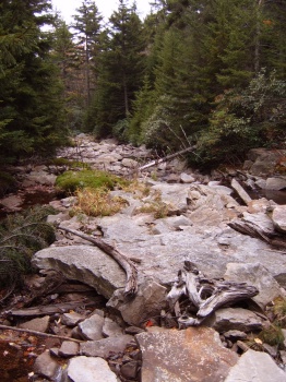
Here's a view looking down the Big Stonecoal Run. This is the point at which the trail crosses from the west bank to the east bank, but you can hike down the run itself, from here to the falls, rather than taking the trail.
– facing south –
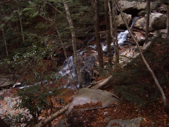
This photo is a poor representation of "the falls" that I mentioned in the previous caption. If you can imagine, an adult would appear the size of a pea on the distant rocks.
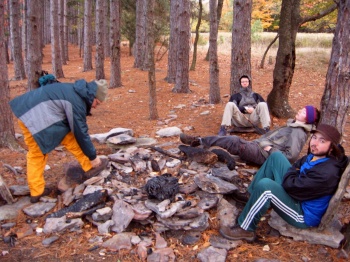
We're preparing to go out to Lion's Head from here, our second night's camp. The wind was fierce that evening, but died down over the span of the night. The next morning we took a pre-breakfast hike to check out the terrain just north of here. The woods are very open, and I'm looking forward to further exploration in the future.
– facing west –
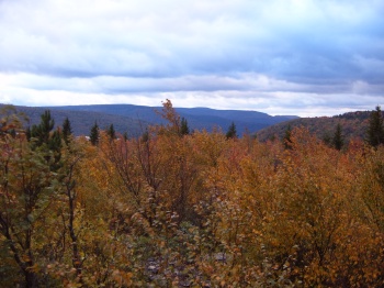
Looking Southeast, just at the Eastern edge of the pine forest we were camping in, looking for Lion's Head. We can see the top of the rocks in the distance, but are wondering how to proceed. There are a lot of cairns, so much so that it can get confusing. Even so, we quickly made it to the rocks edge and were then questionably heading DOWN the ridge – thinking that maybe you approached Lion's Head from below. But, I quickly recognized – through pictures that I'd seen on the Internet – that we were headed down to Rocky Point Trail. We had discovered one of the main paths up! After climbing back up to the ledge, Joel became the "man of the evening" when he located the passage-way out to Lion's Head.
– facing southeast –
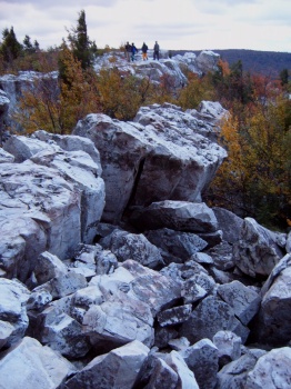
With lot's of cracks and crevices when heading out to see the view – a view that is most spectacular. You could easily spend an hour in one spot, just sitting and staring at the vastness, watching the crows catch updrafts beneath your feet. (I would have taken more pictures, but the camera refused to operate any longer that evening.)
– facing east –
| Day 2 |
|| ||
|