|
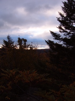
On the morning of Day 3 we were hoping to catch a grand sunrise, or wake up to a valley filled with clouds. But, the clouds were overhead. I did snap a picture when the sun momentarily broke out.
– facing east –
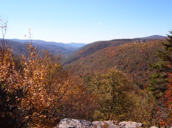
A morning view from the edge of the pine forest that leads out to Lion's Head. In the far off distance is Roaring and Flatrock Plains - an area of high interest to me due to the grand vistas, harsh conditions and minimal access. (Maybe next year!)
– facing southeast –
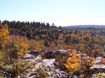
Here is a view from Rocky Point Trail, looking up towards Lion's Head (which is not visible).
– facing up –
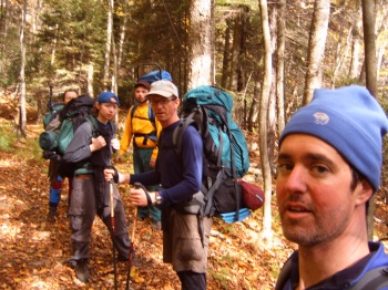
Group shot along Red Creek Trail after we had mostly descended down the trail to Red Creek itself.
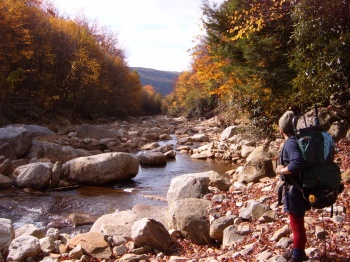
Notice the difference of Red Creek here as opposed to the early views.
– facing south –
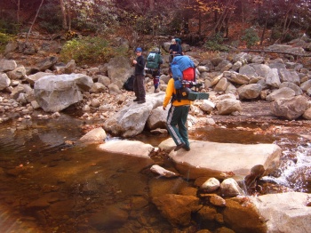
With water levels relatively low - our Red Creek crossing was a simple one.
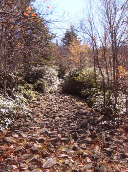
A portion of the Fisher Spring Run Trail, nearing the junction with the Rohrbaugh Trail.
– facing southeast –
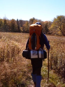
Hiking through an open field on the Rohrbaugh Trail.
– facing south –
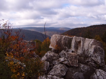
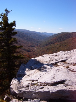
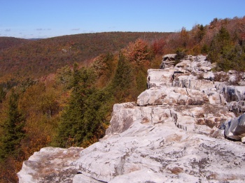
This is a sneak preview of the view from "the cliffs." I remember the very first time hiking in Dolly Sods - I had wasted all my film at this location, thinking that we had arrived! View on and you'll see why, that first year, I should have saved a picture or two.
– facing west –
This, and the remaining pictures (except the road), are all taken from "the cliffs" along the Rohrbaugh Trail. Enjoy. (What a gorgeous day!)
– facing southeast –
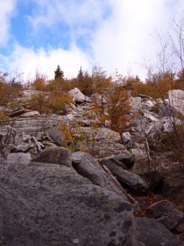
The Cliffs.
– facing west –
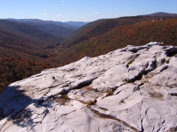
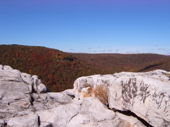
The Cliffs.
– facing west –
The Cliffs.
– facing north –
The Cliffs.
– facing northwest –
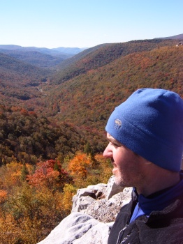
The Cliffs.
– facing west –
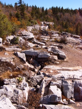
The Cliffs.
– facing east –
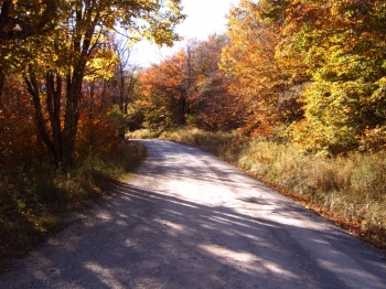
Our last leg along the Rohrbaugh Trail puts us back to FR 19 at the Dolly Sods Picnic Area. Now, where are those keys?
– facing south –
| | Day 3
|| ||
|